Denton County Greenbelt Plan
In 2015, the Upper Trinity Conservation Trust, Denton County, and the Upper Trinity Regional Water District partnered together to develop the Denton County Greenbelt Plan. The Plan was finalized and adopted by the three Sponsors in 2017. Since then, the following entities have adopted the Plan as well and are implementing appropriate strategies in their community.
- City of Aubrey
- City of Corinth
- City of Denton
- Town of Double Oak
- Town of Hickory Creek
- Town of Flower Mound
- City of Justin
- Lake Cities Municipal Utility Authority
- Lantana
- City of Lewisville
- City of Pilot Point
- City of Sanger
Check out the Plan below:
Greenbelt Plan – Executive Summary
Greenbelt Plan – Full Plan (Click the link to request the full plan due to file size)
Interactive Story Map
Summary
Denton County is rapidly urbanizing – – with growth and development expected to continue. The County is transforming from a largely farming and ranching setting, to one with a more urban character as the County’s population is expected to reach over 1 million by 2030. Our goal is for the county-wide Plan to guide the preservation of greenbelts and the adjacent natural areas within the watersheds of our local lakes – – the source of our drinking water

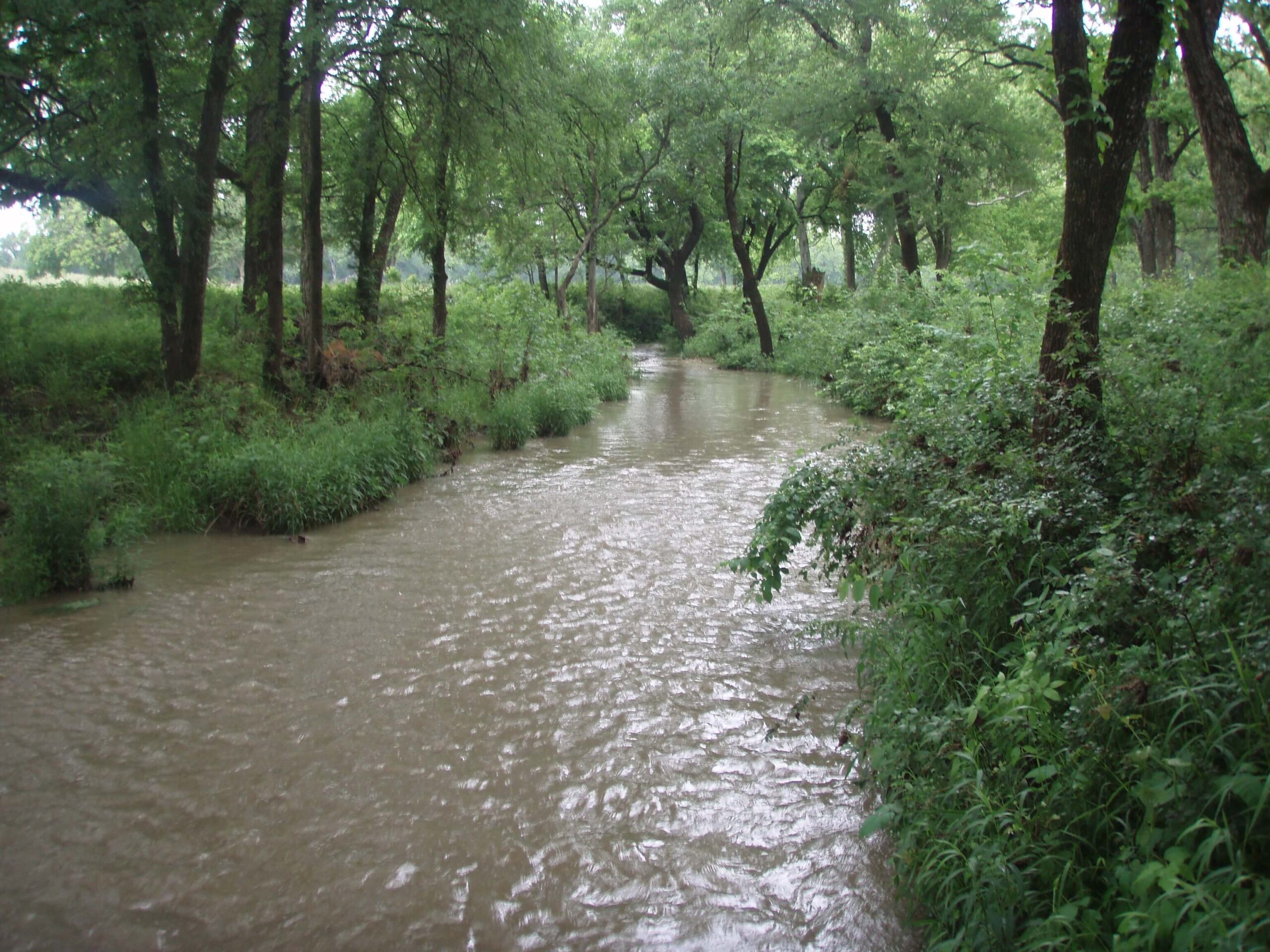
The Plan identifies 137 miles of stream corridor length that are currently protected, while nearly 1,000 miles of stream corridor length that lack protection and may be vulnerable to changing land uses and development. These stream corridors need special attention and preservation to protect the quality of water and to ensure other benefits for future generations. A compelling fact: it is much more cost effective to protect greenbelts and stream corridors now – – rather than restore greenbelts and stream corridors after they have been lost to nearby development. Once they are gone, they are gone forever!
The Plan is sponsored by the Upper Trinity Conservation Trust, Denton County, and the Upper Trinity Regional Water District. Please join us in this effort to improve the environmental sustainability of Denton County and enhance the quality of life for all residents “right where we live.”
Past News about the Greenbelt Plan
Denton County Greenbelt Plan Preserves Greenbelts, Protects Water Quality – Texas WET
Protecting Watersheds: A Coordinated Approach – Texas Water Conservation Association Confluence magazine


